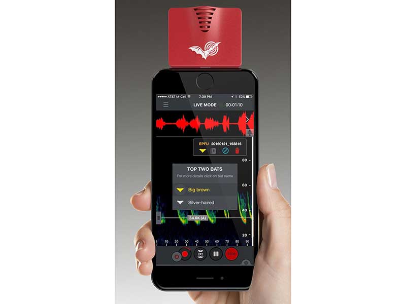
Echo Meter Touch 2 PRO has an innovative combination of hardware and software that allow you to listen, record and identify bats in real time. The Touch Echo Meter application transforms bat sound recordings into audio files. Bat calls are displayed on an interactive spectrogram using the latest Kaleidoscope Pro classifiers and instantly identify recorded bat species. The GPS tags the recordings with location, route and of course saves the recordings as 16-bit WAV files. With the PRO version it is possible to activate advanced features of the software, designed for professional biologists.
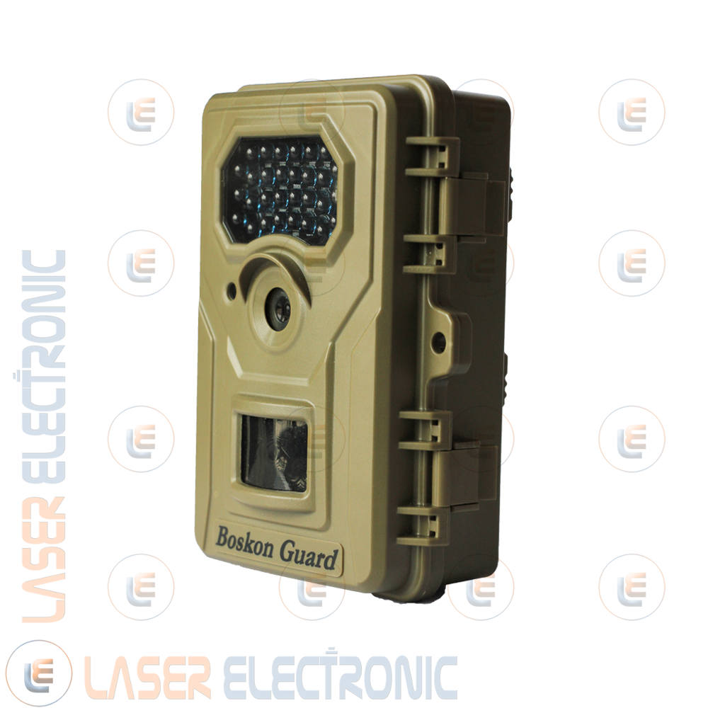
New Boskon Guard BG-526 Camera Trap, 12MP photo shooting and full HD 1920×1080 video recording. 2.4” color LCD screen for viewing videos and photos. Thanks to the innovative auto-off system, it remains active for up to 12 months with a series of batteries, the photo trap turns on and records only when it detects an actual movement.
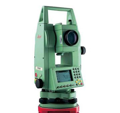
LEICA Total Station TCR 705xRange
Tool used to carry out measurements, tracing, cartographic and cadastral surveys of very high precision. It is also able to manage numerical models of the terrain.
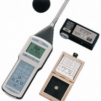
HD sound level meter 2010_200_200
The HD 2010 is a portable integrating sound level meter capable of performing spectral and statistical analyzes. The measurement dynamics of 80 dB, which can be extended to 110 dB with the option, and the ability to analyze the sound level simultaneously with different time and frequency weightings, make it possible to speed up and simplify the sound level measurements. With the HD 2010 sound level meter it is possible to analyze a sound sample by programming 3 simultaneous measurement parameters with complete freedom of choice of time or frequency weightings.
Evaluation of acoustic pollution and environmental noise in general
Identification of impulsive noises
Evaluation of noise emissions from equipment and systems
Evaluation of the effectiveness of soundproofing
Architectural acoustics
Acoustic monitoring also with remote control via PC
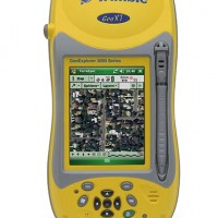
GPS Trimble GeoXT_200_200
A portable CE GPS is a Windows CE handheld with an integrated Trimble GeoXT GPS receiver. An exclusive and happy combination of two cutting-edge technologies, it is a lightweight, portable and incredibly powerful solution. Submeric precision instrument for position data acquisition for GIS.
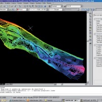
CAD&PILLAR_200_200
CAD & PILLAR is a technical software dedicated to the topographic survey, to the planning and management of interventions on the territory. It integrates the AUTOCAD graphic engine by saving in native DWG format 2004-2006, thus avoiding at the root any problem of sharing projects, drawings and surveys. Due to its versatility and processing power it is the indispensable tool in the technical office and on the construction site. The use of the graphic interface of AutoCAD makes it easy and immediate to use the technical functions for the realization of the documents relating to: Land Cadastre practices, celerimetric and precision topographic survey, road design, interventions on the territory (quarries, landfills) , river arrangements, georeferencing of maps, relief of building facades from photographic images, as well as numerous other activities related to the management of the construction site.
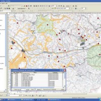
ArcGis Desktop_200_200
ARCGIS is a collection of software products for creating a geographic information system (GIS) that offers a standards-based platform for spatial analysis, data management and mapping. ArcGis Desktop is an integrated system, which includes all the tools necessary to make the most of a GIS, used for problem solving, for efficiency improvement, for decision making and for communicating, visualizing, evaluating, planning and solving conflicts and problems related to geographic data.